- Wound Up on Weather
- Posts
- Heat Wave will break late Week
Heat Wave will break late Week
David Gilhousen
July 20, 2025

SUMMARY
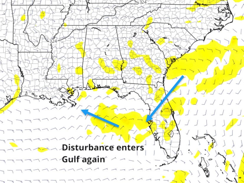
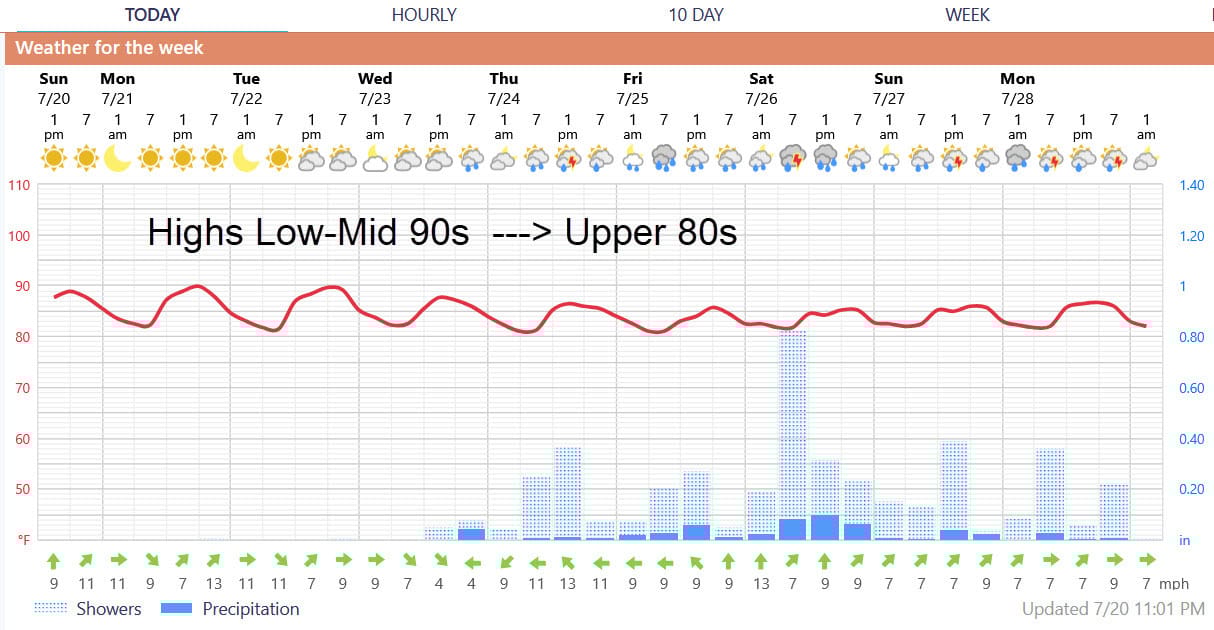
What will be the hottest weather of the year with highs mid to upper 90s Monday and Tuesday will break as showers and storms move in late Wednesday, but especially on Thursday and Friday to limit highs to closer to 90. The same packet of upper level energy that gave us the storms last week will circle a high to our north and re-enter the Gulf by early Wednesday off the Florida Panhandle.That combined with tropical moisture will increase our shower chances.
But will this be a true meteorological deja vu? Yes, in the sense that I don’t think any significant tropical development will happen just like last week. At this point, I don’t see the chances for anything damaging happening from the second go around. But, this development could occur just a bit further south — see where last night’s European model puts the energy at 10,000 feet on Wednesday - so this has a chance of being a depression before it heads our way on Friday. Energy at 10,000 ft., though easier to see, must translate to winds and lower pressures at the surface and that takes time so it’s no sure thing.
AT-A-GLANCE: SLIDELL
FORECAST DISCUSSION
The Foreca graphic under-forecasts the temperature, especially during the hottest weather. Rain chances practically zero through Tuesday, picking up a bit Wednesday afternoon from Slidell eastward into South Mississippi. Shower and storm chances really ramp up Thursday and Friday - then stay high through next weekend.
LONG-RANGE RAMBLINGS
The hurricane pre-season of June and most of July is over. Just like football pre-season, it doesn’t usually tell us much. The next two weeks will be like watching the first game unfold where we will learn a lot more.
Upper level wind patterns called the Madden-Julian oscillation regulates the ebb and flow, or timing, during the season Currently, the pattern is becoming quite favorable for development in the Atlantic during the the next two weeks because it provides the upper level exhaust from the low level heat engine, but it’s only part of the story. No models are showing anything during this time, perhaps because of the Saharan Dust Layer.
If nothing happens in the next two weeks, it could mean a below normal or much delayed season - something all of us are hoping for. Many meteorologists think what development will occur will happen largely outside of the Main Development Region, such as in the Central or Northern Gulf or East of Florida.
ALABAMA & NW FL BEACHES
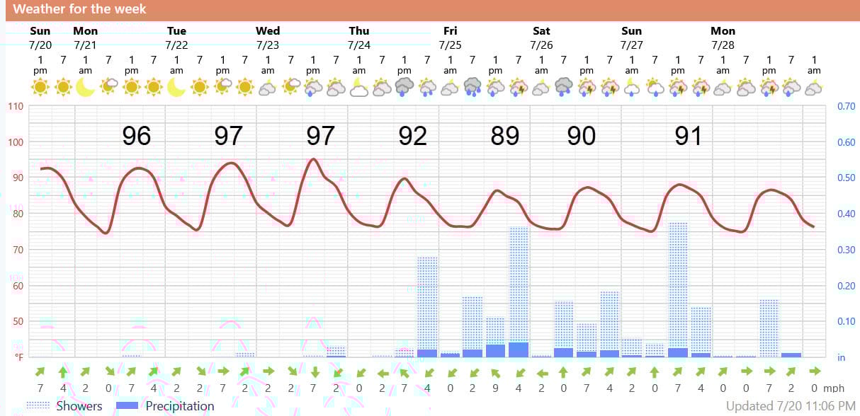
Graphic shows heat wave ending a day earlier there here - humid, thundershower beach weather - not ideal.